Physical Address
304 North Cardinal St.
Dorchester Center, MA 02124
Physical Address
304 North Cardinal St.
Dorchester Center, MA 02124
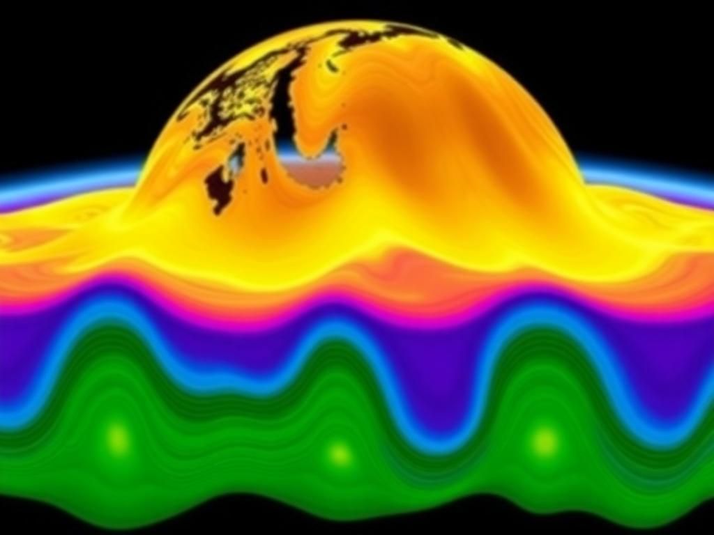
Geospatial modeling has emerged as a critical component across various disciplines, reshaping how we understand our world. It is the process of creating abstract representations of geographical spaces using various data sources, enabling us to analyze spatial phenomena in our environment. This innovative approach is indispensable across different sectors including urban planning, environmental science, and disaster management, making geospatial modeling a cornerstone for informed decision-making.
Geospatial modeling involves utilizing digital tools and techniques to represent spatial phenomena. It incorporates sophisticated algorithms to analyze various data types that reveal relationships among physical locations. The importance of geospatial modeling extends far and wide due to its ability to provide insights, forecast trends, and support tactical planning. From urban design, where planners visualize city layouts, to environmental management, where conservation strategies are optimized, geospatial modeling plays an integral role in countless fields.
Geospatial modeling has its roots in cartography, where early maps were the first forms of spatial representation. Over the decades, technological advancements have significantly changed the landscape of geospatial modeling. The evolution began with simple two-dimensional maps and has transitioned into sophisticated geographic information systems (GIS) and three-dimensional modeling techniques. Notable milestones include the introduction of GPS technology in the 1970s and the rise of remote sensing in the 1980s, which expanded the scope and accuracy of spatial data collection.
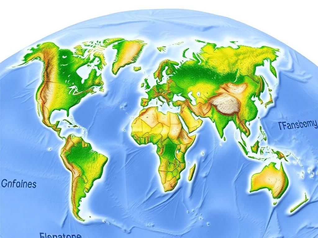
When discussing geospatial modeling, understanding spatial data types is essential. Spatial data can be categorized into two main types: vector and raster. Vector data represents spatial features as points, lines, or polygons, while raster data uses a grid of pixels, making it suitable for continuous data representation like satellite imagery.
Sources of spatial data are diverse and plentiful, coming from satellite imagery, survey data, and GPS data, which provide critical information for effective geospatial modeling.
Spatial analysis techniques are the backbone of geospatial modeling and include methods such as overlay analysis and proximity analysis. Overlay analysis combines multiple data layers to examine relationships between various phenomena, while proximity analysis assesses the distance between features for decision-making. The significance of spatial analysis cannot be overstated; it empowers stakeholders to develop strategies based on data-driven insights and evidence.
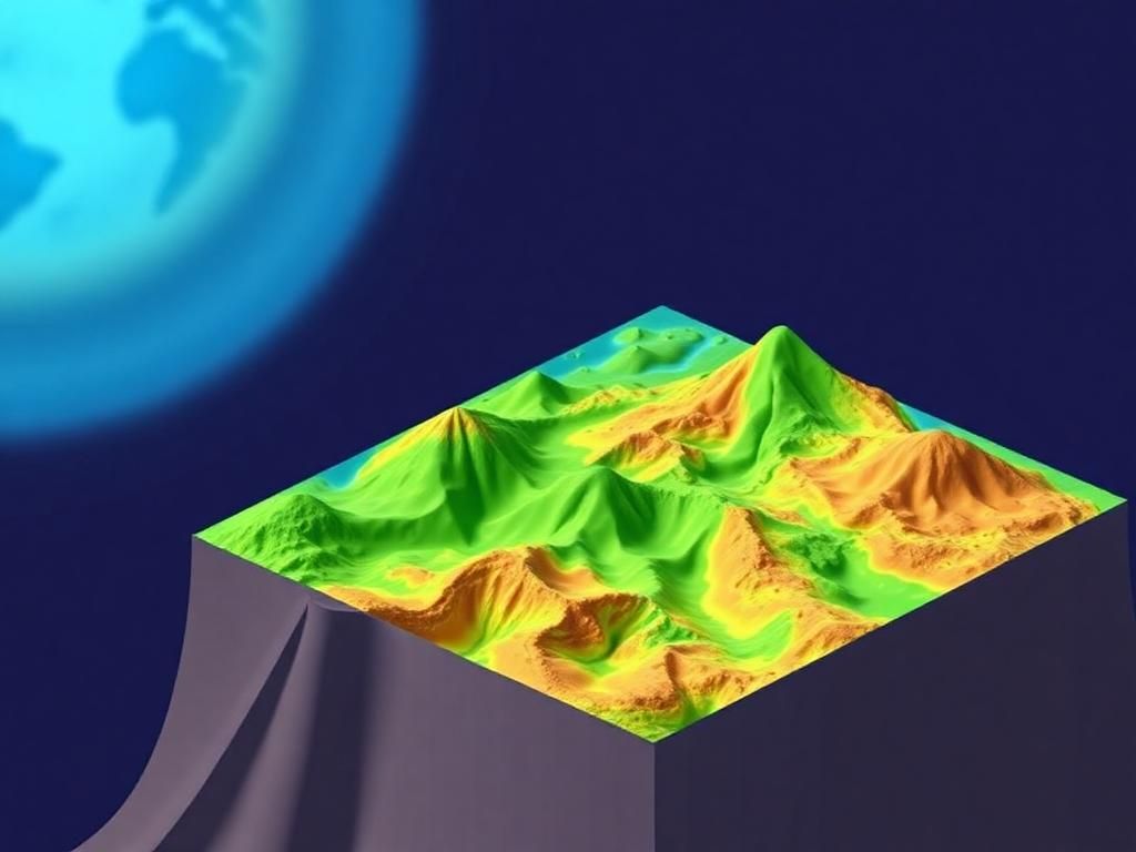
Geospatial modeling employs various models and simulations to emulate real-world processes. These can be classified into different categories: deterministic (producing predictable outcomes) vs. stochastic (incorporating randomness), and static (fixed over time) vs. dynamic (changing over time). Each modeling approach has its applications, depending on the complexity and requirements of the analysis.
The choice of software is paramount in geospatial modeling. Several platforms have gained traction, with ArcGIS being one of the most widely used. It offers robust tools for spatial analysis but comes with a notable price tag. In contrast, QGIS presents a great alternative as an open-source tool with a rich set of features, although it may require some learning to maximize its capabilities. Here’s a brief comparison:
| Software | Pros | Cons |
|---|---|---|
| ArcGIS | Comprehensive tools, user support | Expensive licensing fees |
| QGIS | Free, open-source, flexible | Steeper learning curve, less support |
Programming languages play a significant role in geospatial modeling that allow for enhanced analysis and automation. Python and R are two of the most popular languages, offering extensive libraries and frameworks such as GeoPandas, Shapely, and GDAL for spatial data manipulation and analysis. Utilizing these tools, analysts can perform complex geospatial analyses and model simulations efficiently.
Integration with technologies like remote sensing and GIS enriches geospatial modeling capabilities. These technologies gather and process vast amounts of spatial data, ultimately enhancing modeling accuracy. Furthermore, the integration of artificial intelligence (AI) and machine learning into geospatial modeling is revolutionizing the way we analyze data, allowing for predictive modeling and enhancing decision-making processes across various sectors.
In urban planning, geospatial modeling is pivotal for comprehensive city development strategies. It enables planners to visualize infrastructure projects, evaluate zoning regulations, and optimize public transportation routes. By incorporating geospatial modeling, cities can address growth challenges proactively and allocate resources effectively.
Geospatial modeling finds extensive use in environmental management, including natural resource conservation and habitat modeling. Case studies illustrate the role of modeling in understanding climate change impacts, supporting conservation efforts, and effectively managing land use conflicts. For instance, planetary models can simulate the effects of deforestation on local ecosystems.
One of the most vital applications of geospatial modeling is in disaster management. It assists emergency response teams in planning, preparedness, and response activities. Models are developed for flood risk assessment, helping to identify high-risk zones and facilitating evacuation planning. Geospatial modeling ultimately enhances resilience and saves lives by equipping communities with essential information.
While geospatial modeling has substantial benefits, it also encounters challenges like data quality and accessibility. Issues such as data accuracy, completeness, and consistency can severely impact modeling outcomes. Furthermore, barriers to data sharing often limit the effectiveness of analyses and conclusions derived from geospatial modeling.
The complexity of creating accurate and reliable models presents another challenge. Many models make simplifying assumptions that may not adequately reflect reality, leading to potential inaccuracies in results. As geospatial modeling evolves, enhancing model complexities while maintaining interpretability is crucial.
Geospatial modeling also raises ethical and social concerns. Issues regarding privacy and surveillance remain paramount as spatial data can reveal sensitive information about individuals. Additionally, biases in data can lead to skewed decision-making processes, raising ethical questions about the implications of model outputs on marginalized communities.
The landscape of geospatial modeling is rapidly transforming due to advancements in technology. The advent of big data and cloud computing enhances the capacity for processing large datasets, making it feasible to extract insights efficiently. Moreover, the Internet of Things (IoT) plays a significant role in real-time tracking and data collection, enriching geospatial modeling with fresh, on-the-ground information.
Future trends in geospatial modeling point toward interdisciplinary collaborations among geoscientists, urban planners, and data scientists. Such collaborations will yield comprehensive solutions to complex issues, as varied expertise contributes to more effective analyses and strategies. Successful case studies emphasize how interdisciplinary efforts yield innovative results.
In the coming years, geospatial modeling will focus more on sustainability and resilience. The necessity for models that reflect sustainable practices and promote resilience against climate change will become increasingly vital in urban planning and environmental management. Emphasizing sustainability will ensure that geospatial modeling contributes to a more equitable and resilient future.
In summary, geospatial modeling is not just a technical tool; it is an essential element of today’s data-driven world. Its applications span numerous fields, driving insights and strategic decisions that impact our society significantly.
As geospatial modeling continues to evolve, stakeholders are encouraged to engage actively with these technologies in their respective fields. Collaboration among various disciplines will enrich research explorations, paving the way for innovative solutions to contemporary challenges.
Geospatial modeling refers to the process of creating abstract representations of geographical spaces, employing various data sources and analytical techniques.
The two main types of spatial data are vector data (points, lines, polygons) and raster data (grids of pixels).
Geospatial modeling aids urban planners in visualizing city layouts, optimizing resource allocation, and evaluating infrastructure projects.
Challenges include data quality and accessibility, model complexity, and ethical considerations surrounding privacy and bias.
Popular software tools for geospatial modeling include ArcGIS and QGIS, each offering different capabilities and user experiences.
AI and machine learning improve geospatial modeling by enabling predictive analytics and more efficient data processing and analysis.
Yes, geospatial modeling plays a critical role in disaster management by facilitating emergency response planning and risk assessment.
Future trends include advancements in technology, interdisciplinary collaborations, and an increased focus on sustainability and resilience.
High-quality data is crucial for accurate modeling outcomes, as inaccuracies can lead to misguided conclusions and ineffective decisions.
Resources such as the [Geospatial World](https://www.geospatialworld.net) and [ESRI](https://www.esri.com/en-us/home) provide insightful articles, tools, and community engagement around geospatial modeling and technologies.